This group focuses on measuring potential surface deformations associated with deep geothermal fluid injections that can trigger earthquakes and transient aseismic slip events at depth. It uses a variety of measurements including GNSS (Global Navigation Satellite System) observations, InSAR (Interferometry Synthetic Aperture Radar) observations as well as tilt-meter and strain-meter recordings.
Achievements
In 2022, the Principal Investigator of WG2 changed from Frédéric Masson to Baptiste Rousset, a newly recruited CNRS researcher at ITES. Since the start, WG2 is densifying existing GNSS networks within the Strasbourg Eurometropolis and around geothermal wells in northern Alsace. In addition, the installation of long baseline optical inclinometers at Schœnenbourg Fort in conjunction with PEPR Sous-sol is scheduled for 2024. The aim of these inclinometers, located 5 km from a deep geothermal well, is to measure the fine asismic deformation associated with fluid overpressure, which can lead to slow movements that do not generate earthquakes.
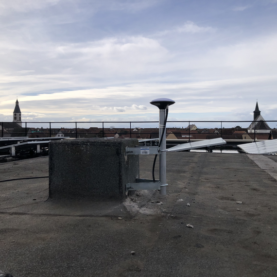
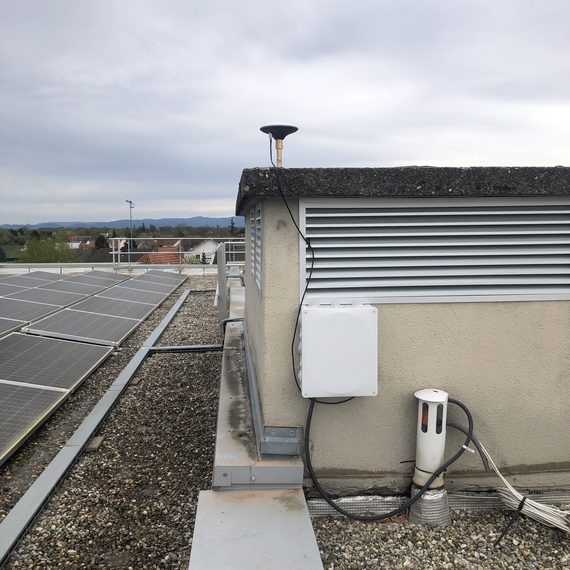
Here 2 GNSS stations recently installed
The Hoerdt (left) and La Wanzenau (right) stations are located on either side of the La Robertsau fault, which was reactivated during the 2019-2020 seismic crisis.
Team
Leader: Baptiste Rousset (CNRS, ITES)
- Members (EOST/ITES): Cécile Doubre, Frédéric Masson, Patrice Ulrich, Jean-Paul Boy, Jean-Philippe Mallet
- PhD candidates: Pablo Barrera-Lopez
Collaborations
With the other ITI GeoT WGs:
WG1: Seismology
WG8: Data management (CDPG)
WG9: Modelling
With other academic partners:
Frédérick Boudin of ENS Paris
With socio-economic partners:
Schœnenbourg Fort


